Est. 2005 · UK-wide trenchless installations07920 553 578·chris@swdd.co.uk
Design, Survey & Support
Find and prove the existing buried services along the line, ideally before the trenchless design is finalised and always before any installation is carried out, so the crossing is steered clear of them. No strikes, no surprises.
With trenchless installations, such as directional drilling, the pipe route is designed between the launch pit and reception pit, on either a straight or curved path. The single best way to keep it clear of the existing gas, water, electric, telecoms and drainage in the ground is to know exactly where they are before we start.
We work from the statutory record drawings and locate on the ground with electromagnetic detection and GPR, and lift manhole, chamber and drainage covers along the line to read the invert depths of what runs below. The survey itself is deliberately non-intrusive. It scans and measures using access we already have, so it causes no damage and needs no reinstatement. The located services are plotted onto the bore layout, so the line is designed and steered around them rather than hoped past them. Where the job specifies a full measured survey to PAS 128, we bring in a specialist survey subcontractor to that standard.
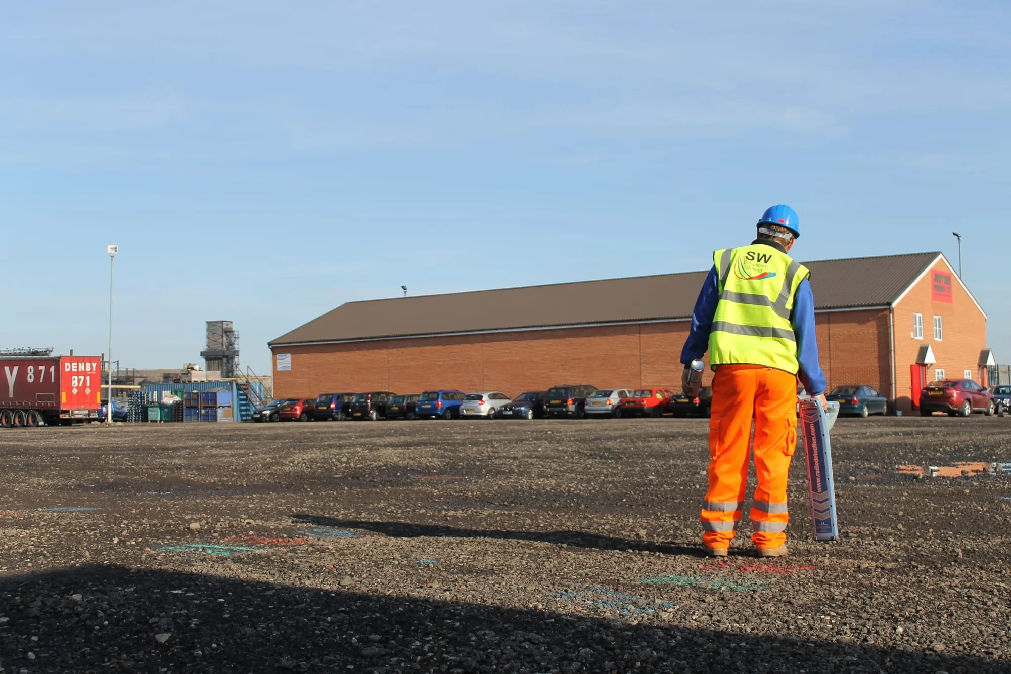
A utility survey usually runs well ahead of any works, before anyone is on site breaking ground. So where the exact depth of a critical service has to be proven by digging, that happens once the site works start, not during the survey. When the crew arrive to install the crossing they check the picture again before breaking ground: they sweep the line once more with RD8000 CAT and Genny locators against the drawings held on site, dig trial holes to prove the depth of anything critical the bore passes close to, and take account of whatever the site excavations expose. If something turns up that the original survey missed, we adjust the bore plan there and then, before any drilling starts.
What you get
| Purpose | Find & prove buried services before the bore goes in |
|---|---|
| Methods | Record drawings, electromagnetic location, GPR & lifting covers to read depths |
| Non-intrusive | The survey causes no damage and needs no reinstatement |
| Full survey | Measured PAS 128 surveys arranged with specialist subcontractors |
| On-site check | A second RD8000 CAT & Genny sweep, plus trial holes to prove critical depths, once site works start |
| Output | Located services plotted onto the bore layout |
| Why | Avoid strikes, re-routes and stand-down on site |
Survey and drilling under one team, so the people steering the bore know exactly what's in the ground.
Questions answered
Because you cannot see the bore as it goes in. Unlike open-cut, where a strike is at least visible, a directional bore is steered blind between entry and exit. Knowing where the existing gas, water, electric, telecoms and drainage runs are along the line lets us set the bore clear of them, which avoids strikes, costly re-routes and stand-down, and keeps everyone safe.
We start from the statutory record drawings, then locate on the ground with electromagnetic detection and ground-penetrating radar (GPR), and lift manhole and drainage covers along the line to read the invert depths. The survey itself is deliberately non-intrusive, so it causes no damage and needs no reinstatement. The located services are plotted onto the bore layout so the design steers around them. Where a job calls for a full measured PAS 128 utility survey, we bring in a specialist survey subcontractor to that standard. Proving the exact depth of a critical service by digging happens once the site works start, since the survey usually runs well ahead of anyone breaking ground. When the crew arrive to install, they also run a second check with RD8000 CAT and Genny locators against the drawings held on site, dig trial holes to prove critical depths, and adjust the bore plan there and then if anything new turns up.
PAS 128 is the British standard for underground utility detection, verification and location. It sets quality levels for how services have been found and confirmed. On crossings where the asset owner or designer specifies a PAS 128 survey, we arrange a specialist survey to that standard before we drill.
Yes, and that is usually the point. Bringing the utility survey and the drilling together under one team means the people steering the bore are the people who know exactly what is in the ground and where. Tell us the line and we will handle the locating and the installation together.
Related services
Confirming the ground itself, not just the services running through it.
View service →The surface and levels survey that pairs with utility location.
View service →The steered installation that the survey keeps clear of existing services.
View service →Send us the line of the crossing and we'll locate the existing services, prove the critical ones, and steer the bore clear.